From CampusBird Blog
Texas A&M puts its CampusBird to good use for SpaceX Hyperloop Competition, helping visitors navigate campus
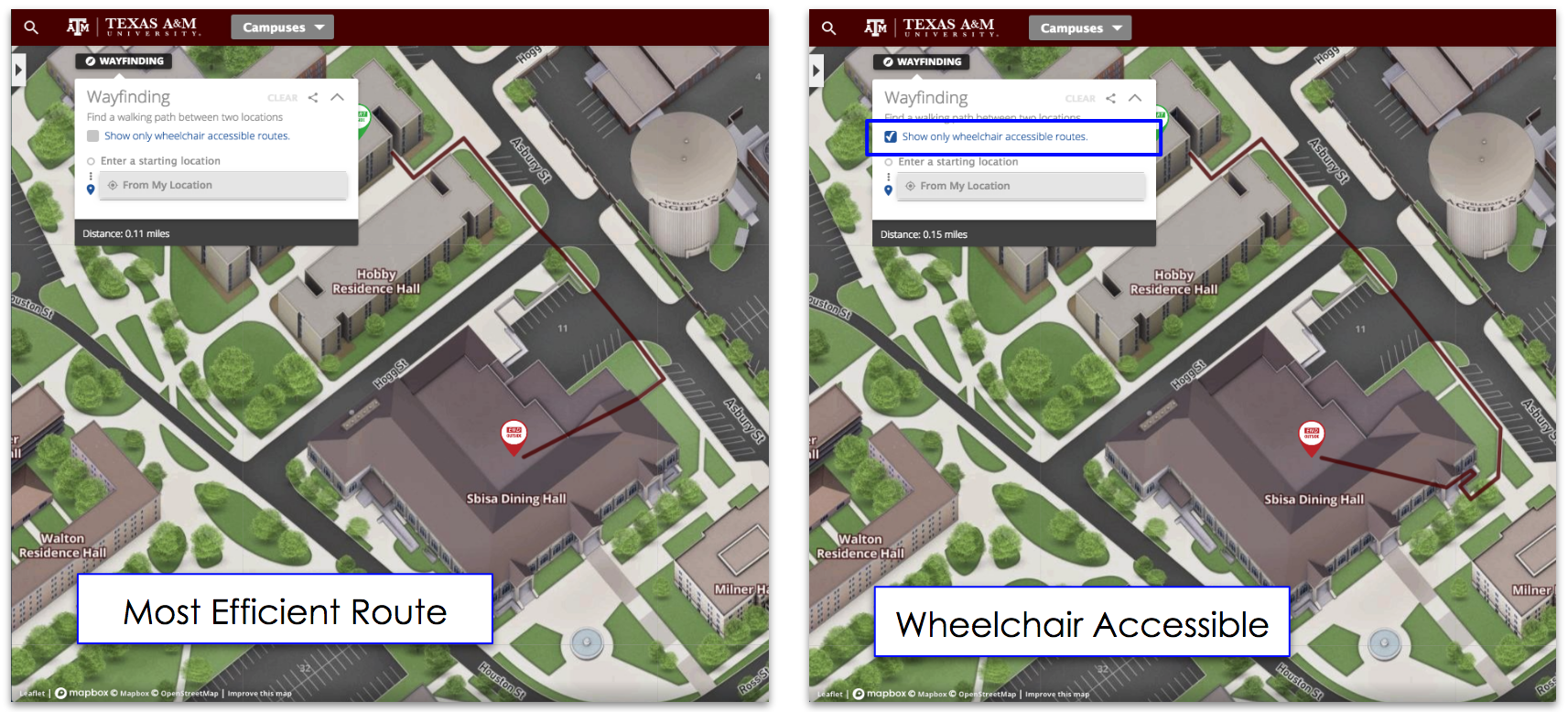
Regardless of size, every institution hosts events that require helping visitors - many who will be visiting for the first time - navigate the campus. And, with the ubiquity of smartphones, a mobile-ready campus map to easily guide visitors - whether they be on campus or off - is a critical tool.
In January, Texas A&M faced just such an event, as more than 1,000 engineering students from across the world flooded Texas A&M’s cam
pus to attend the SpaceX Hyperloop Pod Competition.
In preparation for their arrival, campus administrators put their 3D, interactive CampusBird to good use by creating a new visible layer to their map.
This helps campus visitors find what they're looking for by conveniently highlighting event buildings, parking locations and on-campus dining options to easily guide visitors to their destinations and improve their overall experience.
The unique CampusBird layer function allows professionals in marketing, admissions, facilities, alumni, and other departments to easily highlight buildings, driving and walking routes, parking, and locations of interest, and generate a unique (and private if desired) link to that specific map layer. This makes it easy for visitors to find necessary information, while at the same time enabling them to virtually explore other areas of your campus.
And with CampusBird's MapTimer, you can se
t it and forget it with a simple scheduling function that automatically activates and deactivates the information layer on the days / times selected.
You check out Texas A&M University’s CampusBird interactive campus map here.


