Next

Macquarie U Students Demonstrate Academic Use of Campus Map

December 9, 2015 by Sam Slater

Previous

From CampusBird Blog

One of the most interesting uses for a CampusBird map that we have seen comes from a group of students at Macquarie University.

These students decided to use the school's CampusBird map to demonstrate the traveling salesman problem for one of their classes in a short video.  The premise of the video is a prospective student visiting campus for the first time and looking for the shortest path between all the locations based on his interests.

The students walk through a few different ways to achieve this goal using the CampusBird map as a base, and at the end of the video they show the young man (JJ) on campus taking his planned route.

For what it’s worth the students did quite well on the assignment...

Check out the video below:

Topics: Campus Map, College Campus Tours, Interactive Virtual Experiences

Keep Reading

Virtual Reality
3D Renderings: Understanding the Contrast of Expectations vs Reality
Jennifer Gombeski

Jennifer Gombeski

January 15, 2020

3D Renderings: Understanding the Contrast of Expectations vs Reality

As technology continues to advance, its marketing possibilities continue to increase. There's a reason 3D rendering market is expected to quadruple to $6 billion globally within the next six years. A...

Wayfinding
Wayfinding :: Wheelchair Accessible Routes
Colter Wilson

Colter Wilson

January 13, 2020

Wayfinding :: Wheelchair Accessible Routes

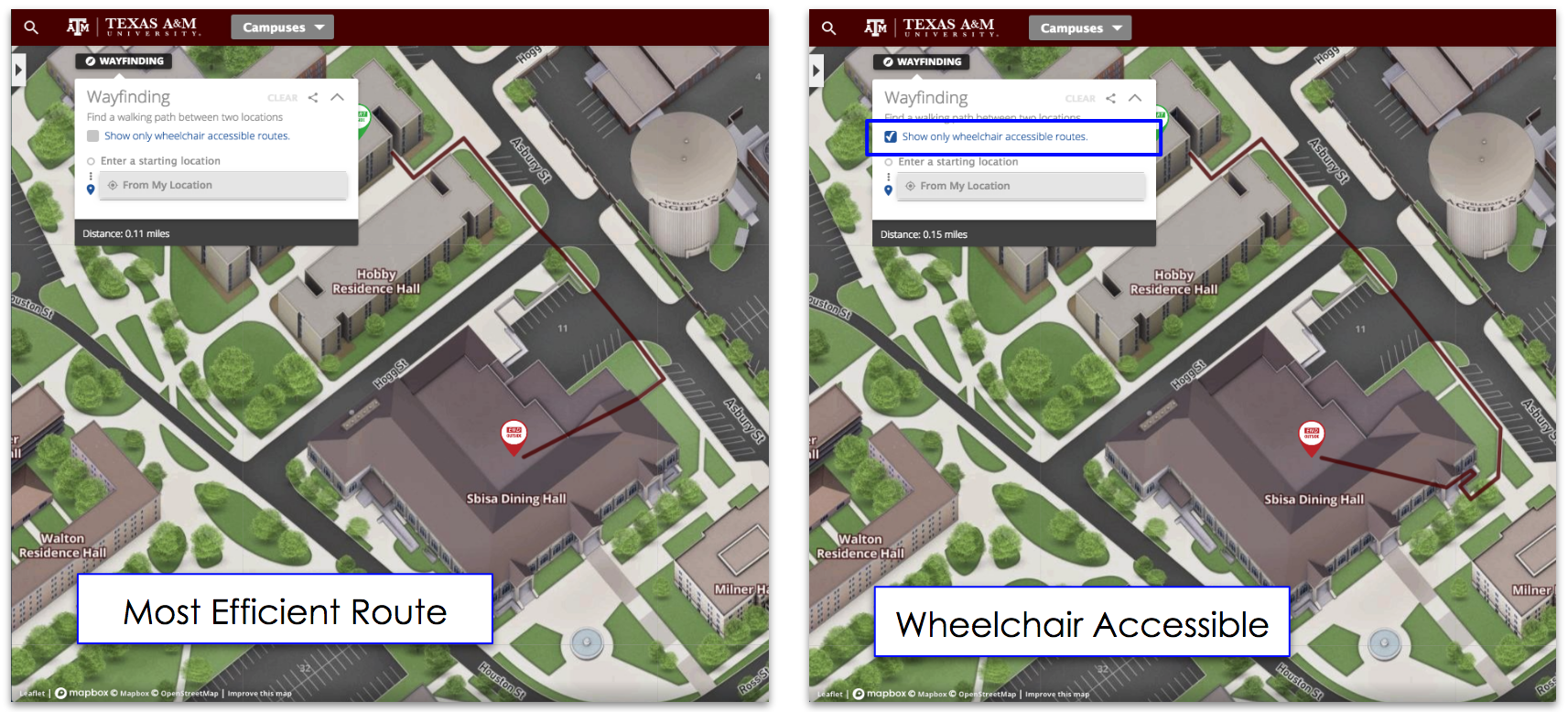
The Concept3D platform has offered walking routes, directions, path optimization, or as we call it, Wayfinding, for over 5 years as part of our interactive map. Today, with Texas A&M University, we...
View All Latest Posts