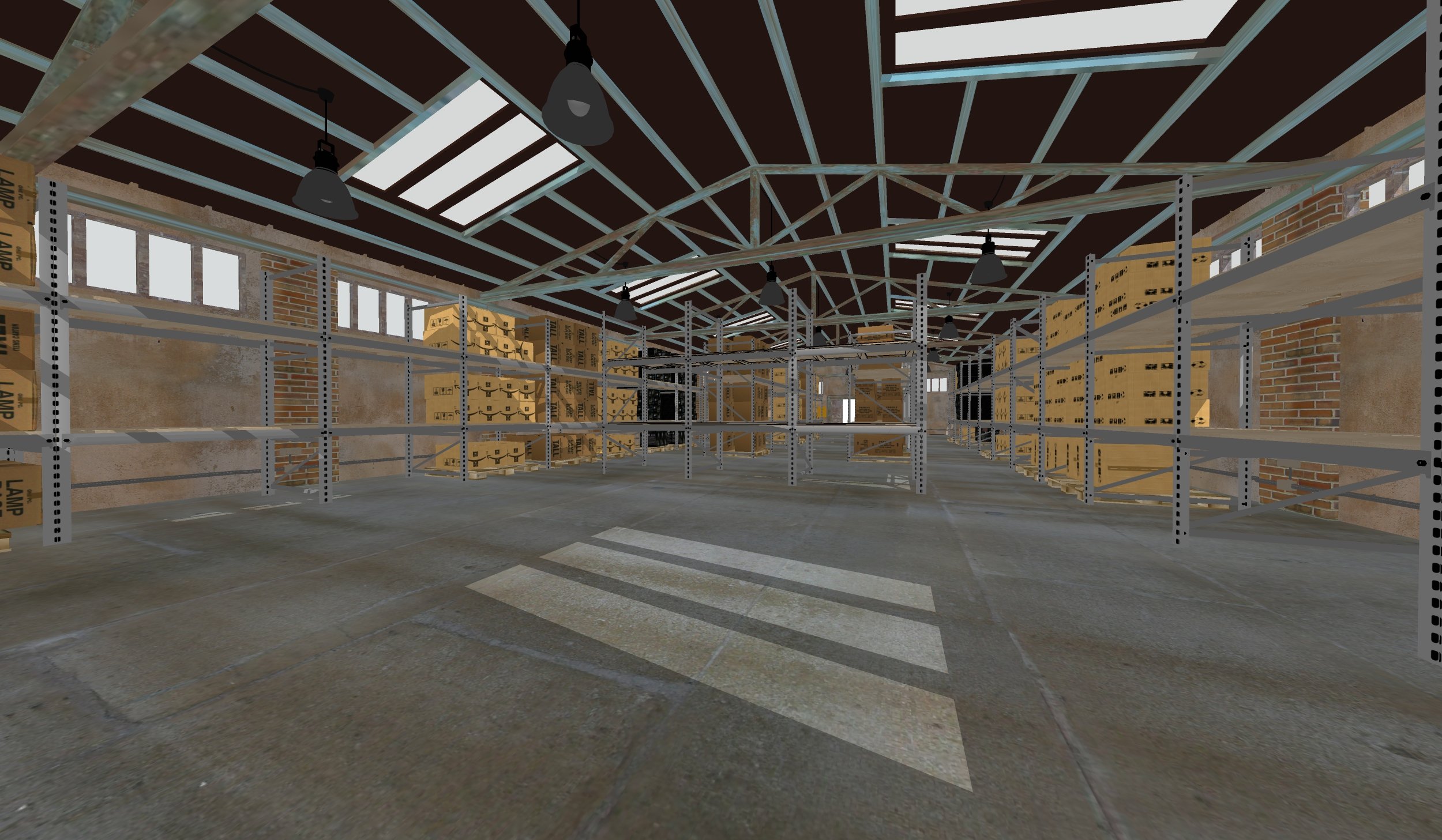
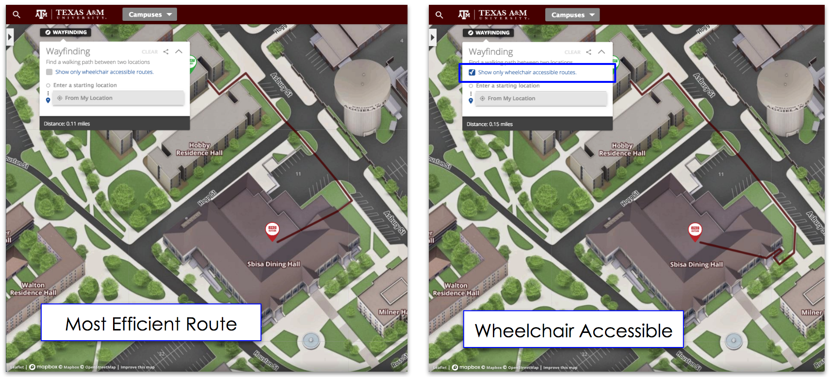
Showing your accessibility resources in your building can sometimes be challenging. Your handicap ramps and elevators might be in an unconventional spot based on different factors. 3D maps can make it easy for your building to show where all the ADA features are as well as planning for it in the construction process.
Accessibility Can Be Hard to Find
Accessibility is especially true in cases of buildings with with multiple swooping platforms or half-levels connected by three to ten stair steps. Depending on how the building is laid out, it could require a person in a wheelchair to go three times the distance an able-bodied person could due to the need to seek out a ramp, often tucked into the corner to save space.
Needless to say, larger facilities become even more challenging. Campuses, business parks, and entertainment venues often have handicap-accessible features but these features may not necessarily be easy to locate. 3D rendering your space is an easy way for a person to see the digitized version of your building.
The Elusive Handicap Sign
Of course, many building managers are probably thinking "Hey, we put up signs". Yes, just like the restrooms in any public building, businesses often put up signs for the handicap-accessible features. Most signs are 5 feet off the ground, and the ramp signs are even higher.
Unfortunately, a sign 5 feet from the ramp is only useful for navigation through your facility if you have a ramp or elevator every 20-50 feet or so. What if someone needs to get up a half-level and the only ramp is halfway across the building? You don't realize how inconvenient some buildings are laid out, until you find yourself needing these ramps, even if it only for a few days.

Building a 3D Handicap Accessibility Map
So if signs aren't the answer, how can you best help your visitors, staff, and customers find the pathways they need through the facility? The answer, naturally, is 3D maps.
A 3D map of your facility includes all the half-levels, the elevator locations, and even the grounds outside. With 3D digital map, you can point out any accessibility features your building sports and make it easy for any visiting handicapped guest to find exactly the accessibility features they're looking for.
Though the 2D map phase seems to have been 'skipped', a 3D map is even more useful because it can be digitally explored, turned, and examined to allow true exploration. Where a 2D map would have trouble rending multi-level design, a 3D map can clearly show exactly where levels change and handicap trouble spots may occur and where accessibility features are hidden. Elevators, grab-bars, slide-walks, and ramps can all be a specific color and route in Concept3D's 3D maps.
Creating Helpful Handicap-Accessible Pathways
Finally, the best thing about modern 3D mapping technology is the ability to design responsive pathways based on the location of the user's mobile device, their destination, and their travel criteria. With a 3D rendered map of your facility, you can help your visitors, customers, and staff quickly navigate from their location to where they want to be. The friendly nav-line can show them exactly where the ramps and elevators are as well as what is under construction.
At the end of the day, anything you can do do make your building more accessible is important. Concept3D's maps can make the whole process from planning to then implementing a simpler task. Contact Concept3D today to help make your facility ADA compliant.


