From CampusBird Blog
Once students have settled into school, many colleges and universities invite families to their campus to kick off Family Weekend. Although Family Weekends vary by school, they generally include fun-filled activities designed to reconnect families and to offer a chance for the whole family to explore campus and the surrounding areas.
Family Weekends are often tied to sporting events. For example, Clemson University's Family Weekend brings generations of Clemson students and families together to root for the Clemson Tigers.
Although students generally know their way around by Family Weekend time, it’s a different story for families; many have only received a brief tour of the campus before or at the start of school, while other families are not able to tour the campus at all.
With different activities taking place in many locations, interactive campus maps can be an essential source of information - as well as a wayfinding tool - to help students and families enjoy the weekend.
Parking & Transportation
The first thing any parent or relative needs to do before embarking on Family Weekend is find a place to park. Parking can be a nightmare during Family Weekend, which makes campus maps a necessity.
Interactive maps not only help visitors locate parking lots, but can also provide real-time lot occupancy information and suggest alternate locations.
For many families staying off campus, taking the bus is a more attractive transportation option because it eliminates the hassle of parking. Interactive maps can provide public transit routes and stops, as well as live bus tracking.

Parking Lots & B Cycle Stations at the University of Denver
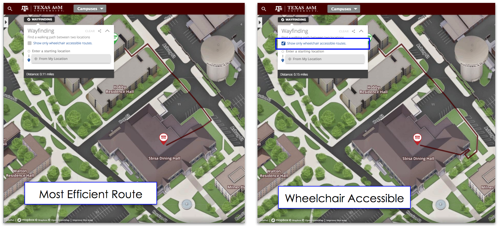
Interactive maps can also be used to highlight bike paths and directions for walking.
Locating Activities
Most colleges and universities plan a variety of events for Family Weekend, which often means that students and families will need to navigate to different places on campus.
Interactive maps allow users to customize their maps, so that only locations that are relevant to Family Weekend will show up. For example, Arizona State University’s map allows users to locate game day event destinations.

ASU Game Day Event Locations
Families can use interactive maps to locate other important destinations, such as dining, ATM machines, and residential halls.
Sightseeing on Campus
Many families may want to venture on their own tour of the campus, so interactive maps will be essential to guiding them.
Of course, students may already be familiar with campus and can help guide their families. However, students may not be familiar with all areas of campus - especially if their school is large and has multiple campuses.
Once again, these maps can be customized to allow students and families to select the areas they want to see. For example, families may want to see athletic facilities and landmarks.
Virtual Tours

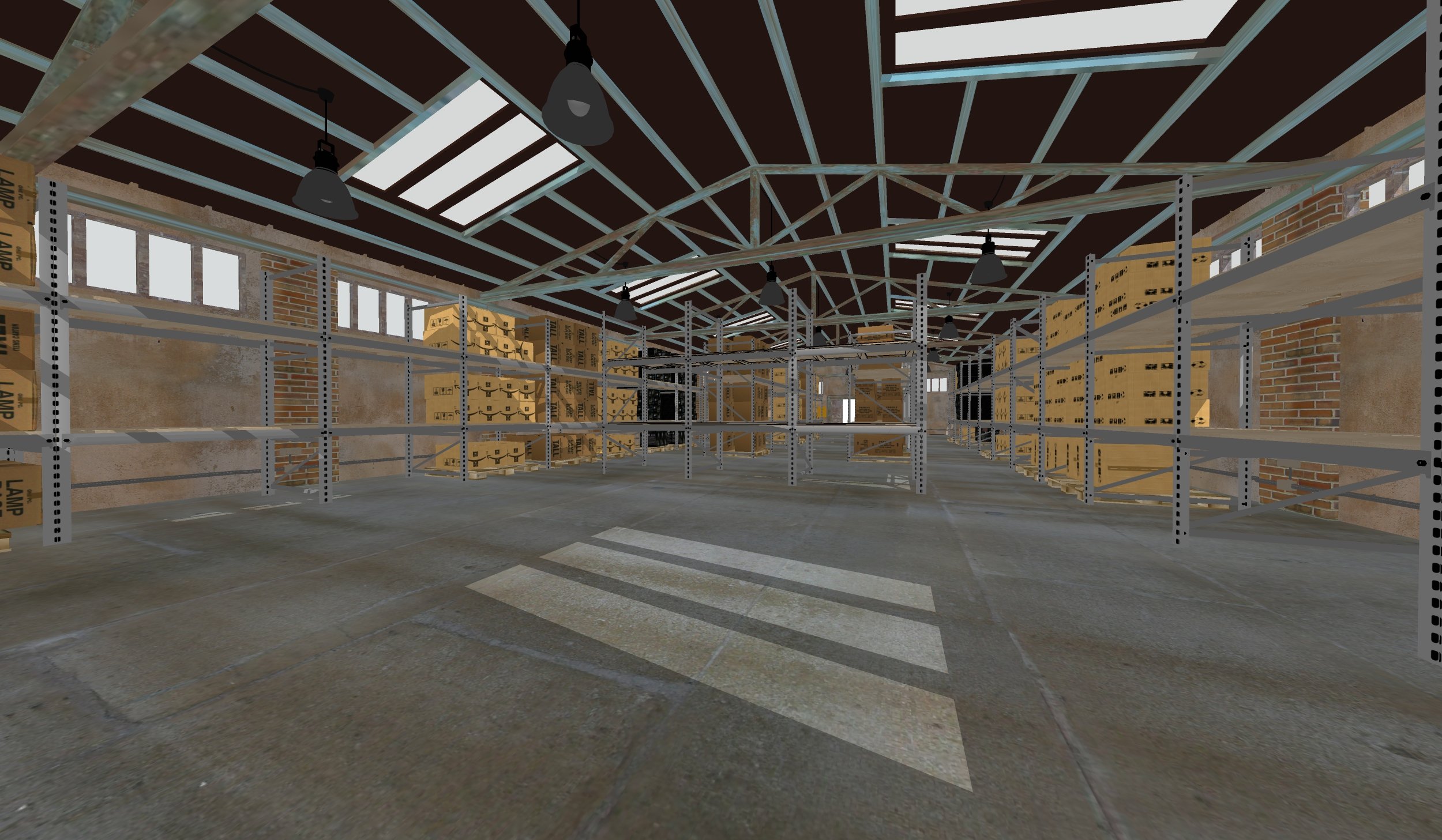
Image Courtesy of Boise State University
Finally, interactive maps can help orient families before they arrive, and - while certainly no substitute for a real visit - can be exciting for those unable to attend Family Weekend. Boise State University has developed a great virtual campus tour just for parents.
Virtual tours utilize the power of 3D images to provide 360 degree views of buildings and facilities on campus. These images will allow family members to feel like they are at the school.
 Parking Lots & B Cycle Stations at the University of Denver
 ASU Game Day Event Locations
 Image Courtesy of Boise State University


