From CampusBird Blog
There are many creative ways to use interactive maps to highlight unique aspects of a campus and student life. Below are seven schools that came on board with CampusBird in 2016, and the creative ways they use their interactive map to highlight campus.
More and more universities across America and around the globe are finding creative ways to use interactive maps in order to reach their audiences. An interactive map is a strong marketing tool to attract prospective students, and as a resource and information hub for current students, alumni, parents, and staff. Below are seven schools that came on board with CampusBird in 2016, and some fun and creative ways they’re using interactive maps to highlight features on campus.
Colorado State University - Commencement, Snow Days and Inclusivity
Colorado State University is a public research university located in Fort Collins, Colorado. With over 32,000 students and more than 1,500 faculty, the school’s CampusBird interactive map is a great resource to help students, staff, parents, and alumni find their way around campus.
CSU uses their map to highlight information about commencement and inclusive resources such as gender neutral restrooms, lactation rooms, and meditation areas. In the winter, CSU also uses a map overlay to show where they will be plowing snow on campus, including on bike and walking paths. On election day, CSU used their campus map to show where students could vote.
Rice University - Integrated Transit and Event Data Feeds
Rice University, a private research university in Houston, Texas, is located on a 300-acre tree-lined campus. To promote student involvement on campus, Rice's events calendar data feed is integrated into the interactive map. In addition, Rice was one of the first CampusBird schools to integrate their live transit information, which makes it easy to find bus routes, real-time bus and shuttle locations, and estimated times of arrival. Rice demonstrates the flexibility of CampusBird and how it can easily work with third-party data feeds for events, ESRI data, transit, and more.
Montana Tech - Profiling Regional Attractions
Originally the Montana State School of Mines, the university, located in Butte, Montana, opened with just one building, 21 students, and two degrees - mining engineering and electrical engineering. Today, MTU hosts almost 3,000 students, and offers over 70 undergraduate degrees, 21 graduate degrees, and various minors and certifications. The school’s interactive map offers beautiful 360-degree panoramas, a virtual tour with audio and video, and even highlights outdoor recreational activities including nearby ski resorts and trails. By building 3D maps atop Google Maps or Open Street Maps, CampusBird makes it easy to profile attractions that are off-campus or even in the greater region. This has major benefits for both rural and urban campuses looking to use every available asset to attract prospective students both here in the US and abroad.
Stevenson University - Campus Beauty and Tranquility
Stevenson University is a private school located in the Greenspring Valley area of Baltimore, Maryland. It is the third largest independent university in the state, with more than 4,600 students and faculty between their two campuses in Stevenson and Owings Mills. Although the school is surrounded by horse ranches, large estates, and beautiful woods, the 60-acre campus is just 12 miles from downtown Baltimore. Their interactive map marks meditation areas around campus, as well as a community garden, and construction sites.
San Diego State University - ADA, Transit and Self-Guided Walking Tour
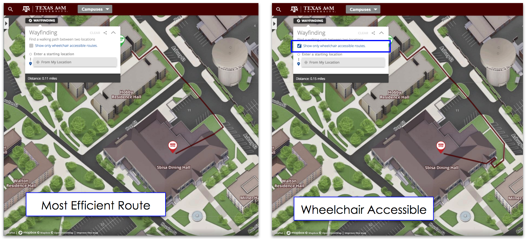
SDSU, located in sunny San Diego, California, is the oldest higher education institution in San Diego County. A public research university, the school hosts more than 35,000 students, and has over 280,000 alumni. Their interactive map highlights construction areas, transit options, including bus stops and routes, bike racks, and parking lots, and ADA accessible facilities. In addition, their map offers a self-guided walking tour complete with photos so you can explore the campus at your own pace.
Florida Polytechnic University - 360 Degree Photospheres
The newest of twelve institutions in the State University System of Florida, Florida Polytechnic University is a public school in Lakeland, Florida. The school hosts just over 1,200 students and faculty, and awards bachelors and masters degrees. A smaller campus, they filled their map with beautiful 360-degree photosphere images to capture the look and feel of the campus.
York College of Pennsylvania - Virtual Campus Tour and Walking Map
York College is a private four-year college in south central Pennsylvania. The college offers over 50 baccalaureate majors, and hosts over 4,400 full-time students, faculty, and staff. York’s 190-acre greenway (also known as "the mall") is a focal point of campus, featuring a large grassy quad surrounded by many of the school’s academic buildings. A couple of fun features of their interactive map are campus walking maps and a self-guided virtual campus tour prospective students and visitors can either view from their desktop or mobile device.
Boise State University - Augmented Reality and Virtual Tours
Boise State is a metropolitan public research institution located in Boise, Idaho, just across the river from downtown. The university has over 24,700 students, faculty, and staff, and more than 80,000 alumni. You can explore their campus through the many 360-degree panorama views. Some other creative uses of their map include integrating the popular Pokémon Go to help students and visitors discover landmarks and other interesting attractions on campus, and, at one point, featuring a triathlon course. They also offer several virtual tours, including both a student tour and a tour for parents.
What are some of the creative ways you plan to use an interactive map to highlight your campus? We'd love to hear from you!
Save
Save
Save
Save
Topics: Accessibility, Live Data Integration, 360° Tour


