It is always necessary to be prepared and have guidelines set up for weather events and emergency situations. In 2017, 59,985 weather events resulted in 592 deaths and 4,270 injuries in the United States alone. As a business or school, it is imperative that you have systems in place to help protect employees and students from natural disasters such as tornadoes, hurricanes, floods, and blizzards. It is essential that all emergency communications are easy to understand, and being able to visually represent this information makes this more clear.

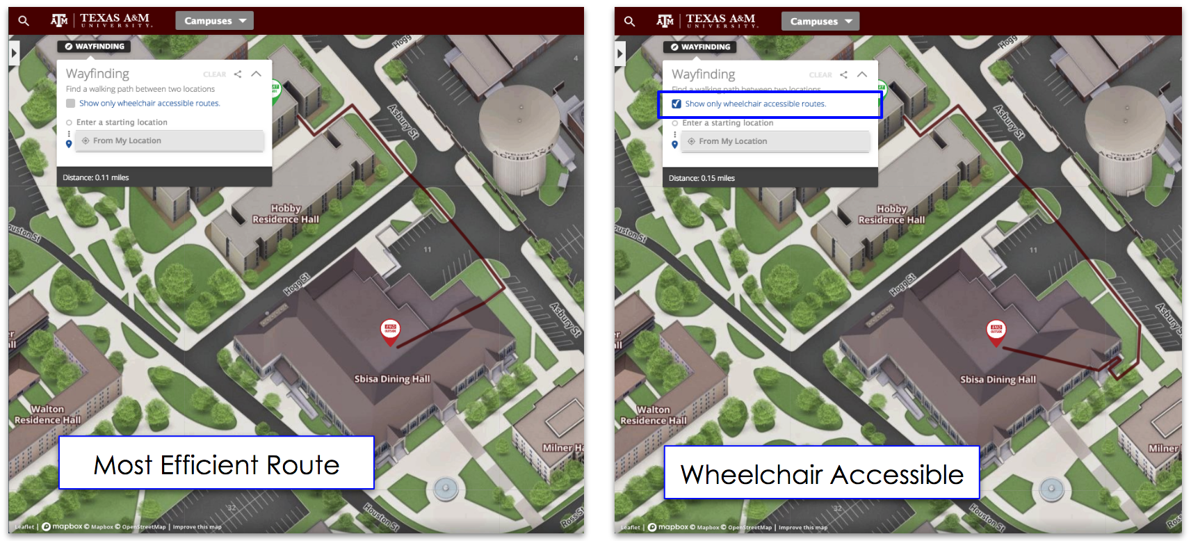
Interactive campus maps make it easy for clients to create emergency overlays that can quickly be switched on or off for users to see. These overlays can have a number of different features including, display problem areas, showcasing evacuation routes, highlighting safe locations, and giving information regarding area and building closures or other needs
Highlighting Problem Areas
Storms and emergency weather situations are often unpredictable and can quickly change. With that in mind campuses can create live data feeds, that can show these continuous changes and highlight problem areas.
For example, Colorado State University has specific snow removal routes highlighted on their map. After a snowstorm, CSU turns on the category with the cleared areas so it is at students ans staff have the information on what sidewalks and roads have been plowed to plan their routes to class or around campus accordingly. Once the snowstorm has passed they hide the category till the next storm so the map is not cluttered with ‘old’ information.
Evacuation Routes
In instances of more severe weather events such as tornadoes or hurricanes, Concept3D’s interactive maps can help direct people and show the safest and closest evacuation routes.
For example, during hurricanes, the University of Houston Downtown makes only certain parts of their map visible to students and faculty, helping guide them during emergencies. With Concept3D’s map they can even make a two-way road into a one-way road that is visible only during emergencies.
Safe Locations
In addition to having evacuation routes for your employees or students to get off campus, it is important to have safe locations for situations when people can not leave the premises. On-site safe locations are key during weather emergencies, because they help direct everyone into only a few locations rather than many. Having these rooms or buildings shown on an interactive map will help easily guide those on campus to the right areas and make emergency situations run a bit smoother.
Interactive maps offer a number of customizable solutions for emergency situations to help keep businesses and the people inside safe, and make helping people during these trying times a bit easier.


