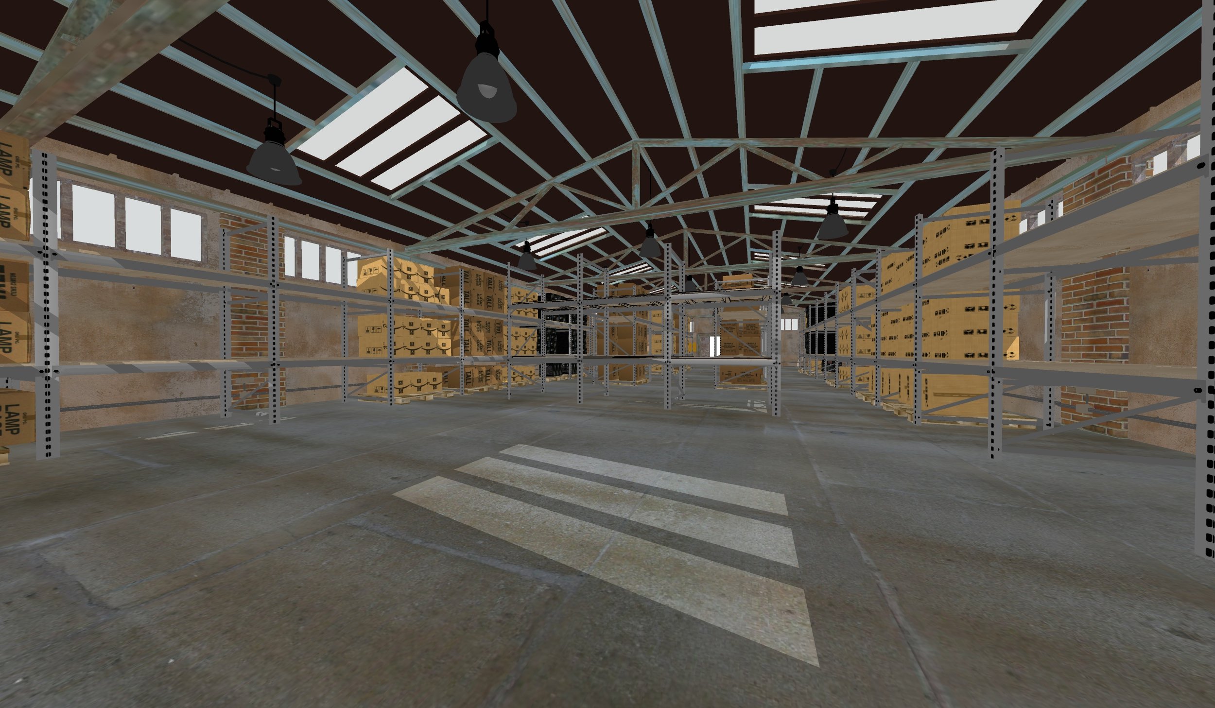
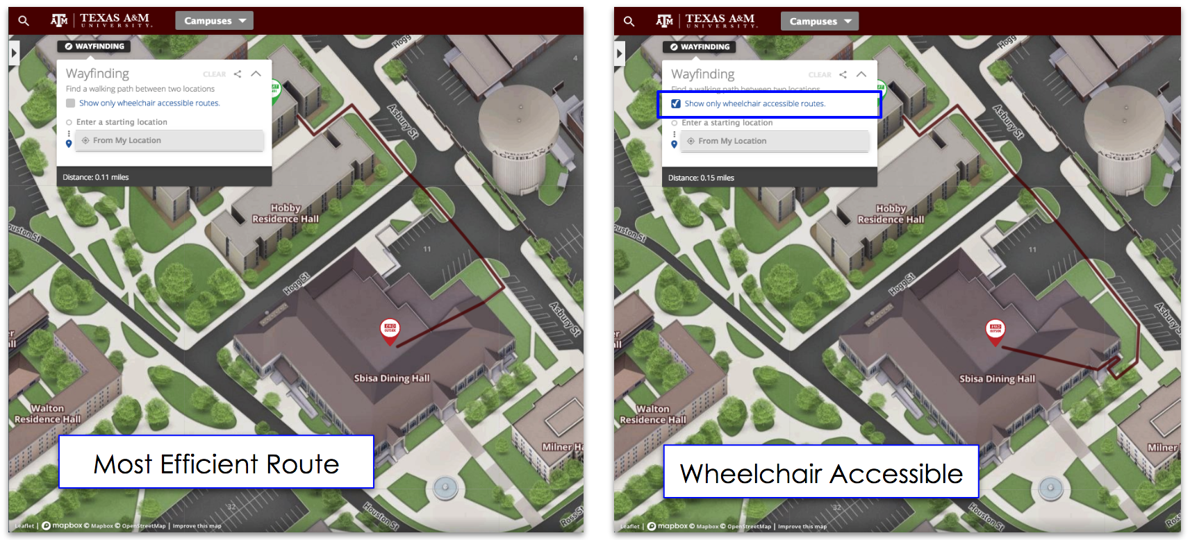
Spatial visualization through vivid, realistic 3D modeling brings greater efficiency, transparency, and collaboration to organizations by making design-dependent projects accessible to everyone involved.
Enhancing efficiency
Spatial visualization leads to greater organizational efficiency by accelerating all phases of real-world projects that depend on design-work for their success. Whether the current phase of the project involves planning, marketing, buy-in, permitting, or construction, realistic 3D renderings help all stakeholders involved more easily visualize exactly what they're agreeing to and building toward.
It improves internal stakeholders efficiency. In training and safety if new hires or even people needing a refresh having a virtual 3D replication of a space can help people visualize a location. They can see the potential dangers and be trained on the proper safety procedure from the safety of a set of VR (Virtual Reality) goggles.
Transforming transparency
Spatial visualization transforms transparency within an organization by bringing all the real-world details of the project to the surface where they can be scrutinized and explored by the organization as a whole. As all parties review realistic 3D renderings, there are no surprises or hidden plans that will come back to haunt or halt the project.
Creating collaboration
By placing spatial visualization at the very center of your project's strategy, all of your project's stakeholders will share a common goal that they can visualize and explore together as a team, creating collaboration like your business has never experienced before.
Case Study : Green-projects
As investments in renewable energy projects break new records every year and corporations are going green by the thousands, the need to visualize large-scale green projects is growing accordingly. However, because many green projects, such as wind farms, entirely transform landscapes, those professionals proposing them need to leverage spatial visualizations to picture their projects more than ever.
A solar-powered corporate campus
Suppose your company has publicly committed to a 100% renewable energy strategy for its primary corporate campus by 2021, and that your team has been tasked with leading the green energy initiative. As part of the large-scale project, your team performs a feasible study on the best renewable energy sources for your climate and location. The results of the study indicate that although wind power is not a viable option, your corporate campus has more than enough year-round sunlight and acreage to convert entirely to solar power.
Planning the transition
However, in order to transition to a solar-powered corporate campus, your team will need to add solar canopies to all parking lots and take advantage of unused, corporate-owned acreage surrounding current campus buildings. Therefore, you will need to reassure all corporate stakeholders that the thousands of solar panels used in the new canopies and the surrounding landscape will enhance, rather than detract, from the highly prized aesthetic appeal of the current corporate campus, which the entire organization takes great pride in.
At the same time, you will need to ensure that your solar energy project doesn't encroach on the campuses existing green belts and walking routes, and that it leaves ample room for campus expansion projects, such as additional corporate buildings already in the long-term pipeline.
Finally, your team will need to deliver extensive documentation to the county to secure a series of critical building permits.
Get the go-ahead thanks to 3D modeling
After realizing that the project will need to get the go-ahead from stakeholders in all of these areas by year's end in order to complete construction by the 2021 deadline, your team does everything in its power to accelerate the buy-in process. However, ensuring timely buy-in with respect to aesthetic appeal, non-encroachment, and building permits requires that you help everyone involved fully visualize the end result of the project: a solar-powered corporate campus.
To achieve that goal, your team begins working closely with a recognized leader in 3D modeling, which soon provides you with a set of breathtaking, photorealistic 3D renderings of the solar-powered campus. As you immerse key stakeholders in your state-of-the-art visualizations, you find that you are now securing buy-in at a remarkable rate.
Leveraging spatial visualization in the digital age
As explored above, leveraging vivid, realistic spatial visualizations brings greater efficiency, transparency, and collaboration to complex, real-world projects.
Green-projects are not the only ones using spatial visualization. We are seeing industry like Oil & Gas and warehousing using spatial visualization to do this; creating truly unique applications.
Concept3D and your 3D modeling needs
No matter what type of spatial visualization you choose to use, leveraging this exceptionally versatile tool can make all the difference toward furthering your most important projects in 2018 and beyond.
If you are interested in utilizing 3D modeling for an upcoming project, please contact us today. Concept3D is the industry leader in interactive mapping and modeling.
Topics: 3D Renderings, Live Data Integration


