From CampusBird Blog
Oregon Health & Science University (OHSU), in conjunction with the CampusBird interactive map platform from concept3D, has instituted a new online map that university officials describe as a key part of OHSU’s wayfinding strategy and an invaluable resource that is refashioning the campus visitor experience.
Renee McKechnie, Director of Digital Strategy, and Christina Elmore, Web Project Manager, from OHSU discuss the impact the new technology is having on visitors to the university, hospital and research facility. The complex sits on a hill, which makes navigating the unfamiliar terrain a somewhat complicated process.
For example, a visitor might enter one building on the 2nd floor and another building on the 9th floor. OHSU officials say the new map, which includes 3D and panoramic features, has greatly improved the ease with which individuals travel throughout campus. The addition of an interactive map is also a move aimed at improving patient care as well as their overall experience.
“Coming to a hospital or coming to a university for an interview is stressful enough, and we find that having this style of map really helps us reduce the anxiety for visitors,” McKechnie said. “They can get a clear visual of where they’re headed so they know what to expect when they arrive at campus.”
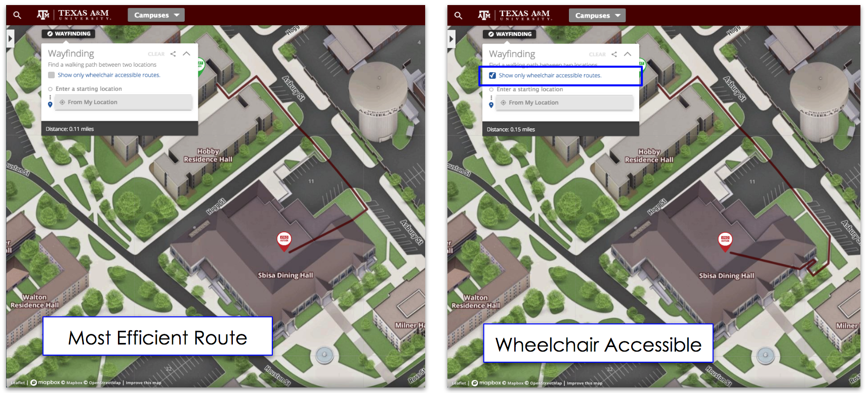
The OHSU digital map includes 3D and 360-degree panoramic views of buildings and other landmarks throughout campus, detailed directions to and descriptions of numerous parking structures, hours and menus of cafes and other eateries, and tips for negotiating to and through OHSU via tram, bus, and streetcar.
The map sits on top of Google Maps, which enables users to zoom in or pan out to the level of detail desired. That ability to pinpoint locations enables visitors to quickly find the exact information they need.
“[Campus officials] are trying to help visitors, patients and students get here, and they don’t always need to have them view the entire map,” Elmore said. “They may want to focus on certain areas. Being able to choose just one category, like just parking destinations, or being able to choose two specific places, like a parking garage and one building, is really helpful for all of the different needs we have across our campus and hospital.”
The maps serve individuals including patients, new and existing students, faculty, and hundreds of new employees each month, many of whom are unfamiliar with the campus during their initial visits.
“We’re excited to be partnering with an OHSU team that has done such a great job of serving such a broad audience and making each individual feel welcome,” said Lisa Harris, Vice President of Marketing at concept3D, Inc. “Their obvious commitment and attention to making the visitor experience as smooth as possible is impressive.”
OHSU has found that the new digital platform enables it to quickly update information, whether it’s construction of a new building or a department changing its name. The map allows for distributed authoring and immediate updates.
“The visuals that it outputs are really lovely, too,” McKechnie added. “Our buildings and sidewalks have never looked so good. CampusBird has exceeded our expectations for a digital map.”


