Equipment and assets sensors are the backbone of commercial automation and optimization. They are feeding the big data and the IoT revolution. The best and worst part of sensors is a lot of information. To make all of the information user friendly it needs to be visually appealing. This blog will discuss how sensors, 3D rendering, and maps will make your business more efficient.
Efficiency
More businesses everyday have introduced data collection through sensors to monitor and track the entire operation. Data is available from all kinds of sources:
- Location of personnel and equipment
- Energy usage
- Critical warnings
- Inventory management
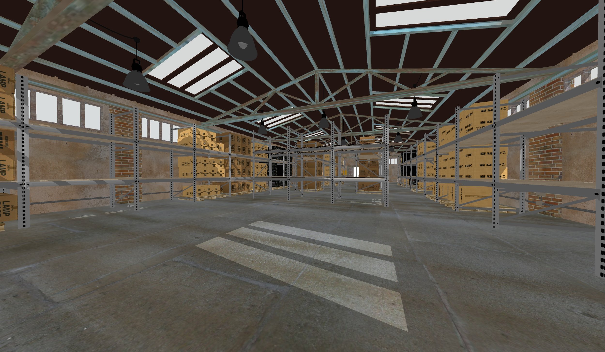
A warehouse might need to regulate its store. It can use locators on lifts, carts, and employees along with barcode scanners to follow inventory as it moves through each scan. When these data have a visual layout, they are easier to consume.
Industries
A solution built upon real-time sensors and 3D maps gives businesses a unique tool for exploring fine data. These maps provide employees and staff an easy way to read information without overwhelming them. This technology applies for businesses in all industries like:
- hospitality
- real estate
- construction
- energy plants
With data fueled 3D maps, management and team leaders can tell employees where they are needed. Employees can get things done more efficiently, and without asking for help
Business as Usual
Dependable real-time data allows businesses to prepare for unknown problems. They can integrate information into their map to see everything that is going on. Businesses will enjoy their maps and be ready to identify unknown problems and create plans of action.
By having data mapped into a 3D environment, management and employees can quickly identify what is normal and isolate what is not. The interactive map will make your business run smoother by giving the correct information in the right format.
Operations
Really, sensors have a use on about everything. When they are in place and mapped accordingly, identifying problems is easy.
- Does maintenance need to fix a water leak? Check the map.
- Is this room causing waste and consuming too much energy? Check the map.
- Do any lights need replaced or rooms serviced? Check the map.

People can also make notes and allow others to act accordingly. Perhaps after checking the map, an employee finds an air leak around the window in a room. Businesses save money and can work through the rest of their property to solve this issue.
Presenting data from sensors on 3D maps gives businesses a smart tool to work through matters of efficiency, security, and normal operations. They allow businesses in any industry a perspective that outlines where normal workflow might encounter delays. Concept3D Mapped data is powerful for employees and personnel to use and allows them to determine where they can work their best. Data are useful more for businesses today than ever, and mapping them in a 3D environment makes things easier to understand fully. Contact us to help your business out today!
Topics: Live Data Integration


