Graduation season is here and what’s just as important as wearing a cap and gown, is...making it to the ceremony.
Around the country, thousands of high school and college students are moving on to the next chapter in their lives. Graduation is a special and exciting time for faculty, students and their families, but it also means that your school will be hosting the entire senior class plus their families and friends.
Between finding parking, attending a number of different ceremonies and finding a place to meet up and celebrate afterward, an interactive map is the perfect way to make sure your school is ready to help people on the big day. Here are a few ways interactive maps can make graduation day a little less stressful and help guests navigate the campus with ease.

Outlining All Ceremonies
Many college graduates have more than one ceremony to attend. Large schools typically host a main graduation with the entire graduating class and then smaller ceremonies for each major or department. These ceremonies aren’t always one the same day or the same location, and navigation can be difficult.
By using an interactive campus map schools can highlight the different ceremonies throughout the week with custom icons and specific information, such as time, date, best parking locations, entrances and exits, restrooms, etc. Temporary 3D map overlays can be applied so ceremonies automatically toggle on and off to show by day or department making a detailed event map. These specific overlays not only help students and their families plan ahead, but they also serve to help alleviate campus congestion.

Highlighting Parking
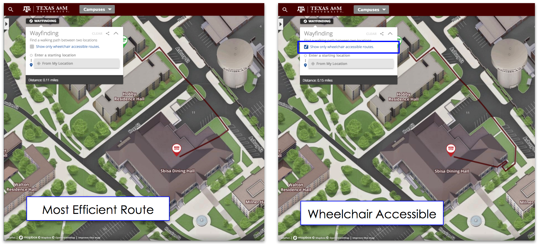
Parking during graduation can be absolute madness. And it’s wise to use an interactive map to guide visitors to the best parking options, including notes on each lot. Also, note if there is a special place for drop-offs or for oversized vehicles to park. Interactive maps can also highlight handicapped parking or accessibility routes. This is vital - especially because older visitors, such as grandparents are often present at graduation.

Transportation
Not all students and families have access to cars or want to be driving on graduation day. Many choose to take public transportation or use ride-sharing apps like Uber or Lyft. Having designated pickup and drop off locations for ride-sharing apps can help with congestion and traffic on campus. Also, having any school-related shuttle options listed along with their schedules is very important for graduates.
For example, CU Boulder is offering a number of complimentary shuttles from different public parking lots to the main graduation ceremony. They have these routes highlighted as well as more information about timing and other details.
Interactive campus maps are also a great way to show visitors what’s on and around campus, and help people orient themselves long before they arrive. When the dust settles from a busy graduation week, digital maps can manually or automatically shift over to summer school mode, and your graduation guests will have had an amazing experience.

Highlighting Nearby Restaurants & Hotels
Many out of town visitors come in for graduation ceremonies and will not know the campus and its surrounding area very well. Having nearby hotels and restaurants can not only help visitors navigate the area, but also give suggestions for places to celebrate after the ceremony.


