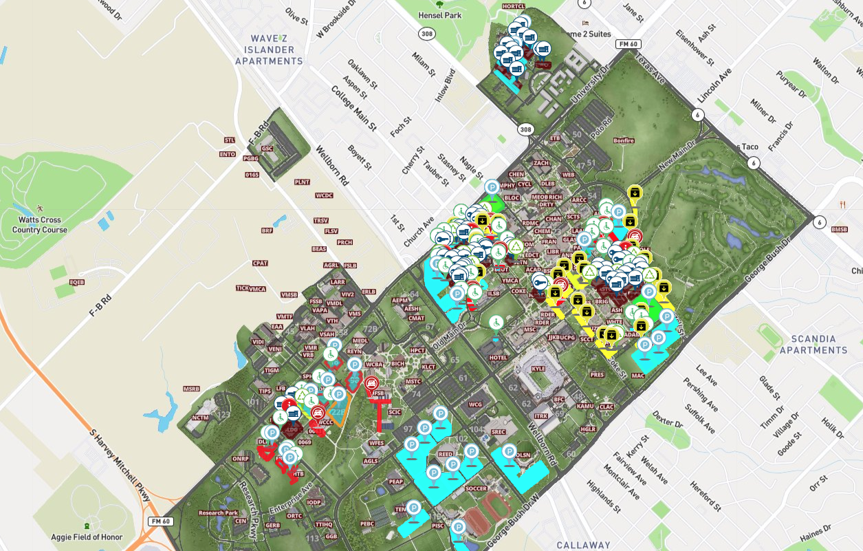
Transform Your Campus Map With Live Data Integration
At Concept3D our goal is to help our customers better serve their audiences with interactive maps and virtual tours. Our platform is extraordinarily flexible and can be tailored to the specific needs...
Using Interactive Maps for Weather and Emergency Scenarios
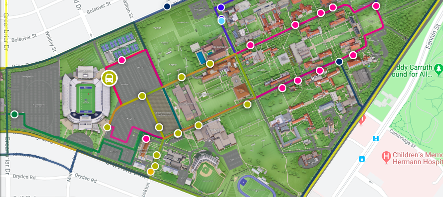
It is always necessary to be prepared and have guidelines set up for weather events and emergency situations. In 2017, 59,985 weather events resulted in 592 deaths and 4,270 injuries in the United...
Mischiefed Managed: A Campus Map With All The Data
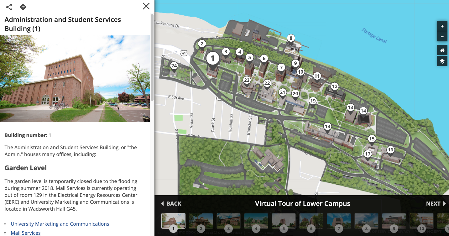
Today Michigan Technological University presents the benefits of an interactive map at High Ed Web. They are is a public research university, home to more than 7,000 students. Founded in 1885, the...
How Live Data Integration Is Changing the Idea of University Maps
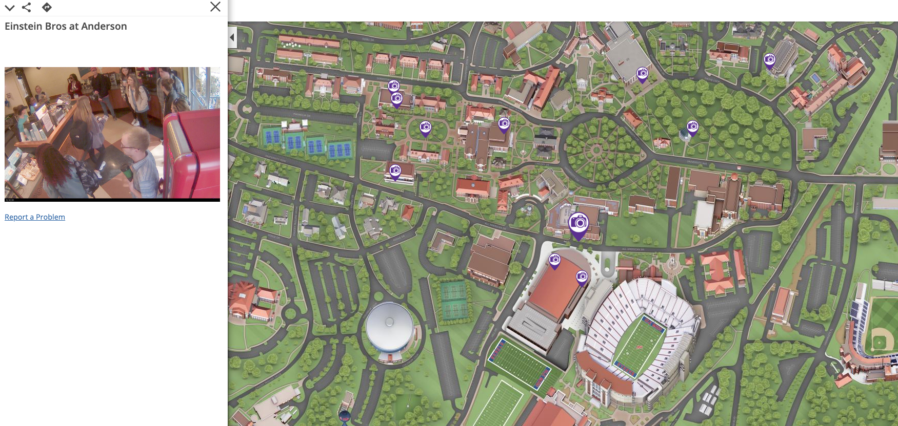
Every now and then, an idea emerges that can transform the marketing of an entire industry. At this moment, we are witnessing the growth of such an idea in higher education. Campus maps have been...
Penn State System Launches Concept3D Interactive Map Platform
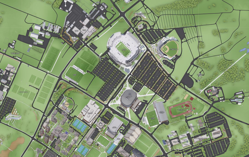
Concept3D Platform Brings 22 Separate Campuses to Life Online Through Realistic 3D Renderings, Interactive Software, Wayfinding System and Built-In Virtual Tours We’re extremely proud to announce...
Mobile Maps for Back to School
Due to the larger screen size, some prefer to view interactive campus maps on their desktop computer. At Concept3D, while our maps are built for both desktop and mobile devices, we average around 65%...
