5 Ways for Schools and Universities to Use Maps and Virtual Tours
Over the past few years, campus maps and virtual tools have moved from a nice-to-have gadget to a vital tool when it comes to spreading the word about your university or college. Used correctly, they...
Maps Can Be a Core of Digital Transformation in the Enterprise
By: Robert Johnson, VP of Business Development, Concept3D Twenty eighteen may well be the year of digital transformation (DX), as companies commit to making sure digital technology is driving...
Data Visualization, Enhanced 3D Map Navigation, and More
What We Expect to See in 2018 - Concept3D Team Members Share their Thoughts From new data visualization applications to 3D map navigation and more innovative ways to deliver visual experiences, the...
Showcasing Sustainability Through Interactive Maps
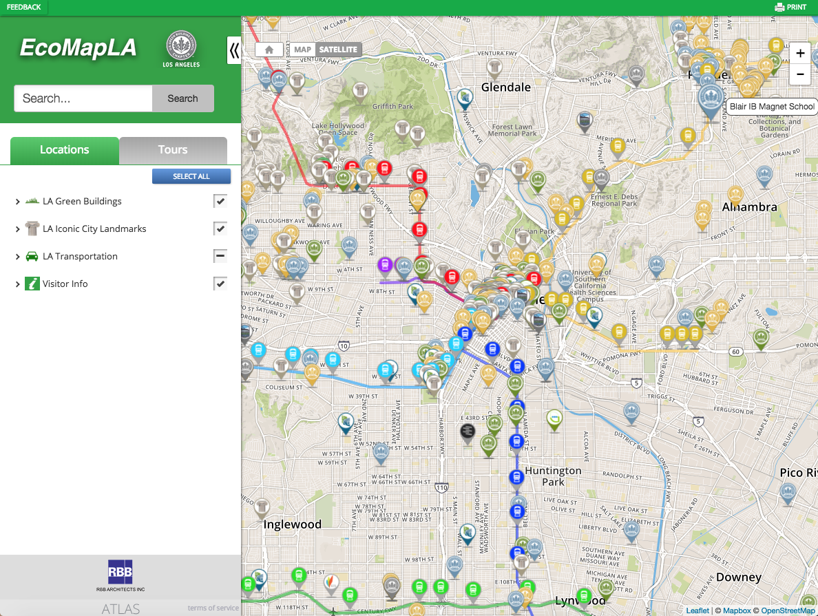
USGBC-LA is an organization of people collaborating to transform Southern California into a more sustainable region. The organization offers various resources that give detailed answers about popular...
Concept3D Powering Colorado Convention Center’s Interactive 3D Map
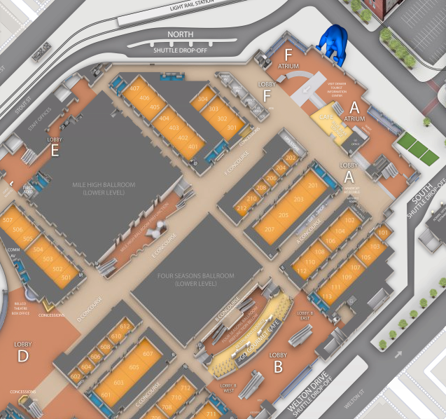
Multi-floor map platform offers easy wayfinding and navigation along with tools for meeting planners and convention center staff The Concept3D team is proud to announce that Colorado Convention...
The Importance of Spatial Visualization and 3D Modeling in 2018
Spatial visualization through vivid, realistic 3D modeling brings greater efficiency, transparency, and collaboration to organizations by making design-dependent projects accessible to everyone...


