Preparing for Holiday Shopping with Interactive Maps
The holiday season is hands down the busiest time of the year for malls and retail locations. Last year, over 165 million people shopped over Black Friday weekend alone. With the holiday season...
Using Interactive Maps for Weather and Emergency Scenarios
It is always necessary to be prepared and have guidelines set up for weather events and emergency situations. In 2017, 59,985 weather events resulted in 592 deaths and 4,270 injuries in the United...
Simplify Space Planning With New 3D Panorama Feature
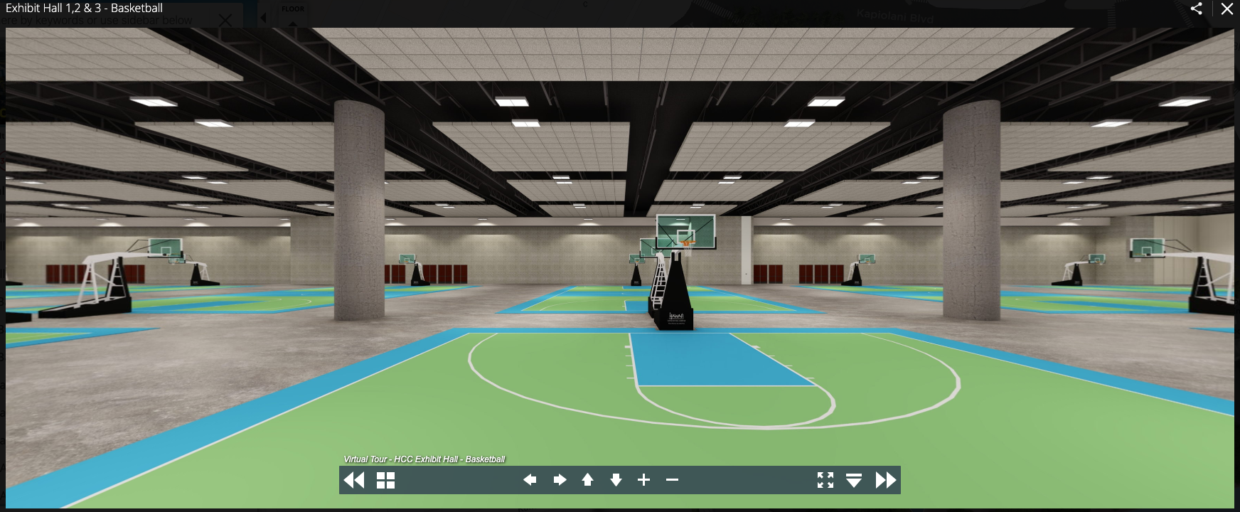
We are excited to announce the launch of our new 3D Panorama feature, which integrates into our interactive map and virtual tour platform. The new feature is designed to replace cumbersome, static...
Mischiefed Managed: A Campus Map With All The Data
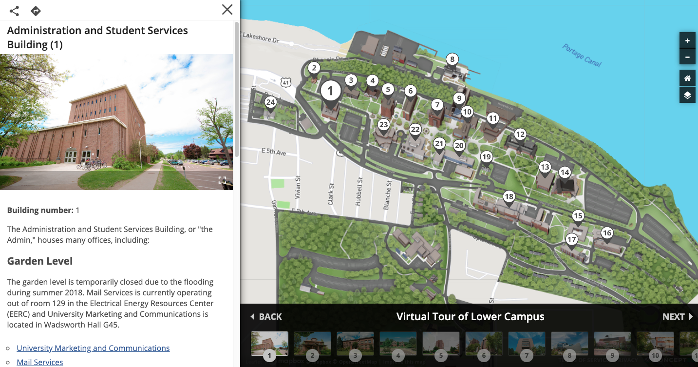
Today Michigan Technological University presents the benefits of an interactive map at High Ed Web. They are is a public research university, home to more than 7,000 students. Founded in 1885, the...
How Live Data Integration Is Changing the Idea of University Maps
Every now and then, an idea emerges that can transform the marketing of an entire industry. At this moment, we are witnessing the growth of such an idea in higher education. Campus maps have been...
The Growing Role of Interactive Maps for Sporting Events
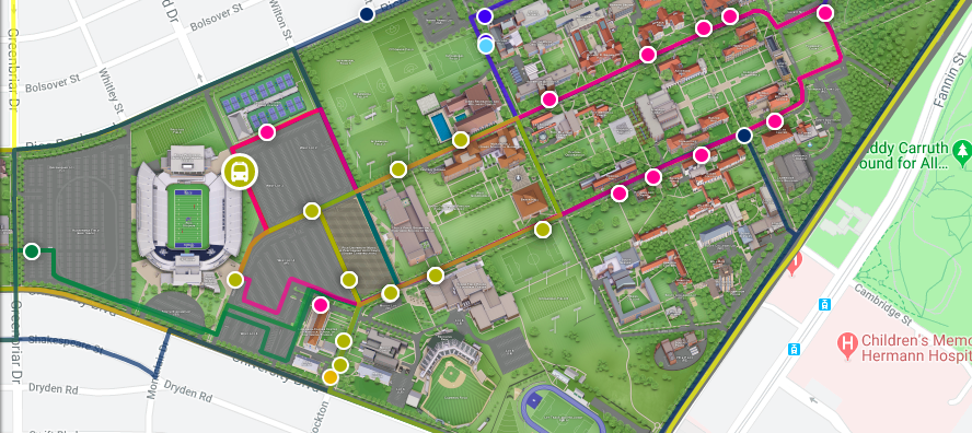
With college and professional football back in action, and baseball playoff season ahead, sports stadiums are as crowded as ever. In recent years, Americans have spent around $56 Billion to attend...


