From CampusBird Blog

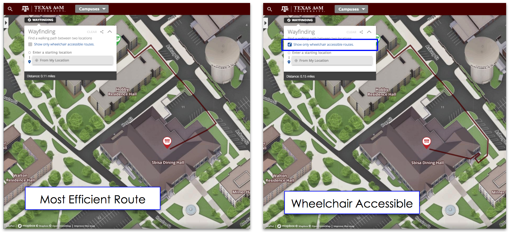
An interactive campus map of Bowling Green State University, created by the Data Hub and Resource Center within the Department of Design and Construction using the CampusBird platform, went live in April, 2015.
Project Manager Andrew Fortlage said the project started about a year ago, when the Data Hub and Resource Center started looking into ways to update the already existing print map.
Daniel Lemmerbrock, Data Hub and Resource Center manager, said they researched other universities’ maps and saw a lot of them were interactive.
Before deciding which company to use, the Data Hub and Resource Center met with the administration to fund the project.
The administration was “very supportive” and they were able to secure funding for the map, Lemmerbrock said.
After researching three different companies, which specialize in making interactive campus maps, Fortlage said they decided to go with CampusBird because they were the best overall and the most affordable.
CampusBird is in charge of coming up with the graphics for the map as well as the back-end features.
Lemmerbrock said his favorite feature of the map is how the buildings display, because they show the character of the actual buildings, whereas the old map did not.
Another reason why Fortlage said they chose CampusBird to create the map is because they have created maps for schools with similarities to the University.
For example, they have worked with Kent State University, another MAC school, University of Findlay, another Northwest Ohio school, and the University of Arizona, which has similar website qualities.
In addition to a more realistic building display, Lemmerbrock said the map changes with the seasons; when it is fall, the trees display fall colors and when it is winter, they will be white, etc.
The map will also show changes in construction on campus so people coming on campus can see how their day will be affected.
Technology allows today’s society to access information almost instantly; Fortlage said this is why they wanted to make the map interactive.
“We live in an on-demand society,” Fortlage said. “I expect to be able to research things on my phone easily and when I want info, I want it now. I expect students to feel this way especially.”
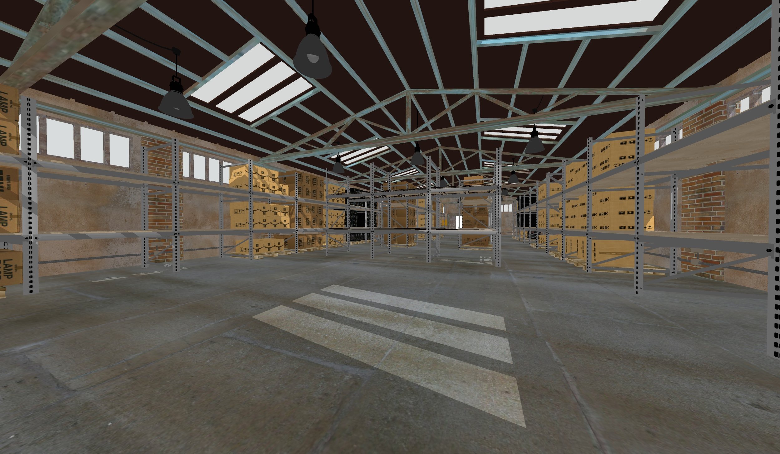
One feature, which has not gone live yet, but Fortlage said will soon, is panoramic photos.
He said these photos will be useful to incoming freshmen who are interested in seeing what their residence hall room will look like.
Prospective students who are unable to view the campus because they live far away will benefit from the map, Lemmerbrock said.
Future plans for the map are continuously evolving, Fortlage said.
One idea already in the works includes a Falcon feature, which will highlight monuments specific to the University such as the seal or the falcon statue outside of the Stroh Center.
Another idea Lemmerbrock said they want to implement is an interactive shuttle map, which would use the GPS systems on the campus busses.
As time goes on, Lemmerbrock said these ideas will be implemented.
“That’s the great thing about this map,” Lemmerbrock said. “As we come up with ideas, we can edit it to where we can promote all the great things BGSU has to offer.”
Both Lemmerbrock and Fortlage said they have received positive feedback about the new map.
The University’s Facebook page posted about it and Fortlage said there were comments from freshmen saying they loved it.
Lemmerbrock said people have told him it is an improvement from the old pdf map and they love the new interactive version.
In addition to main campus, the map also includes Firelands and Perrysburg campuses.
Find the map at map.bgsu.edu.


