From CampusBird Blog
Western Connecticut State University (WCSU) today announced the debut of its new interactive campus map. Featuring high-resolution photographs, historical descriptions, detailed directions and more, the digital map will serve prospective and enrolled students, new faculty and staff members, and the general public by guiding them through all the university has to offer. Built on top of Google Maps, the technology allows for zooming and panning and is viewable online and via smartphone.
One of the main incentives behind instituting the new platform was to create a map that shows the campus to its best advantages in near real time. The university, which has approximately 5,000 full-time undergraduate students, was founded in 1903, and the campus has grown and seen numerous changes in the past century plus.
The previous static map did not keep up with the many changes on campus. But these days university officials can easilymake changes to the map, add and create materials whenever they wish, and store those materials all in the same place.
“We’ve made many improvements to the campus over the years, and you can now see the diversity of architecture in the new map,” said Jeff Shpunt, Webmaster of WCSU. “Families in the area can quickly look at the campus map and say, ‘Wow, it’s changed so much.’”
WCSU expects that one of the outcomes of the new map will be an increase in campus visits from prospective students. Shpunt notes that the implementation goal was to “excite the students to visit” and says that the new map does a much better job at showcasing the university’s renowned nursing, arts, and other programs. For instance, the visual and performing arts center just moved to the Westside campus (the school’s other campus is Midtown), and the map accurately reflects that change. In turn, Shpunt adds, the projected increase in visits will likely lead to more admission applications.
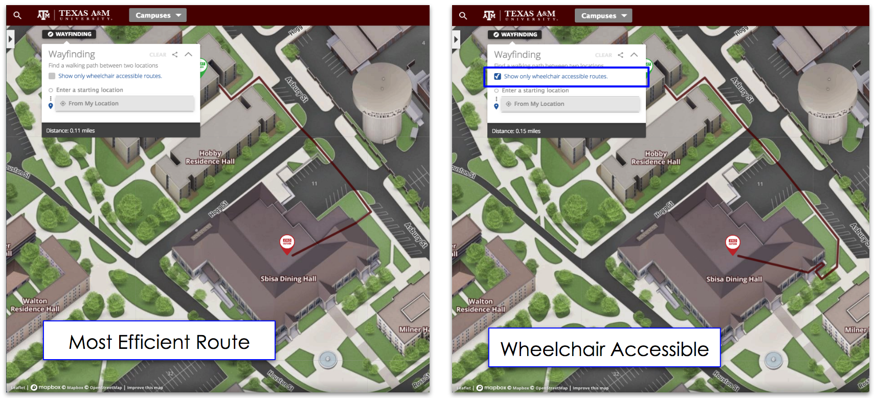
Along with being a marketing and recruitment tool, the map is useful for helping the students and the larger university community navigate around the university. It includes interactive directions—users simply enter their starting point to receive driving, bicycling, transit or walking directions—to locations throughout both campuses. The general public will be able to customize their routes to the university’s acclaimed summer concerts, and local high school families will be able to better make their way to the athletic events and graduation ceremonies that take place at WCSU.
To create the digital map, the university migrated content over from the static map, tagging each department so that the map would have strong search functionality. The team already had some experience with Google Maps, and they made sure the map was integrated with the existing University website template to promote a consistent look and feel.
“I was surprised at how easy the implementation was,” Shpunt said. “It was a very easy project and highly cost-effective.”
As for the future, the university is considering ways to include shuttlebus GPS locations on the map so that at any point in time a map user can see where buses are between and around the two campuses.


