From CampusBird Blog
Durham, NC - Chris Sardinas faced the front of Forlines House on Chapel Drive and panned a camera across the building from right to left, capturing 12 photographs of the building that houses Duke Alumni Affairs.
He walked by the original 1930s stone of the entryway and turned a corner around the sunroom.
"I'm trying to take pictures that show the structure of the building," said Sardinas, brushing aside a twig obstructing the view before snapping another photo and moving to the next section of the building.
Sardinas and fellow photographer, Robert Stephens, will take thousands of photographs like these through Monday, Aug. 1, as part of a Duke campus 3-D modeling and mapping project. Their photographs will help create a detailed, three-dimensional model of Duke and a data-rich two-dimensional map. This will give virtual visitors the opportunity to enjoy the gothic architecture of campus and offer faculty, staff and students the ability to create customized maps for events and programs at Duke.
"It will give us the ability to present as close to a real-time, real-place portrait of the campus as we can get," said Michael Schoenfeld, vice president for public affairs and government relations at Duke. "Viewing the campus in three dimensions will make this experience more breathtaking."
Duke hired Concept3D, a computer modeling firm from Boulder, Colo., to create highly accurate, computer-generated models of the exteriors of 325 buildings across the university campus and medical center. Concept3D will combine these models with existing detailed two-dimensional maps and other information provided by Duke to create the three-dimensional model of Duke and update Duke's online campus map.
The model will be available to the public through Google Earth and incorporated into Duke's website and mobile map applications later this year.
"The field of mapping is changing rapidly and we have been considering for several years how to respond to the demand for new interactive maps of Duke," Schoenfeld said. "Students, visitors and staff are beginning to expect to be able to create customized tours and navigate around a virtual campus as easily as they do the real one."
Duke Facilities Management and Medical Center Engineering and Operations Department are providing campus maps, architectural plans and aerial photos to concept3D to ensure that the building models are precisely created and placed in Google Earth. The modelers will use details from the thousands of photos to "paint" the correct colors and textures on building exteriors and ensure that unique architectural details, such as gargoyles, are included.
In a separate but related project, another group - the Google Maps Street View team - will arrive on campus in August to take more photographs. They will capture views along Duke's private roads and pedestrian areas and also create 360-degree interior photos of some of Duke's more famous buildings for Google Maps with Street View.
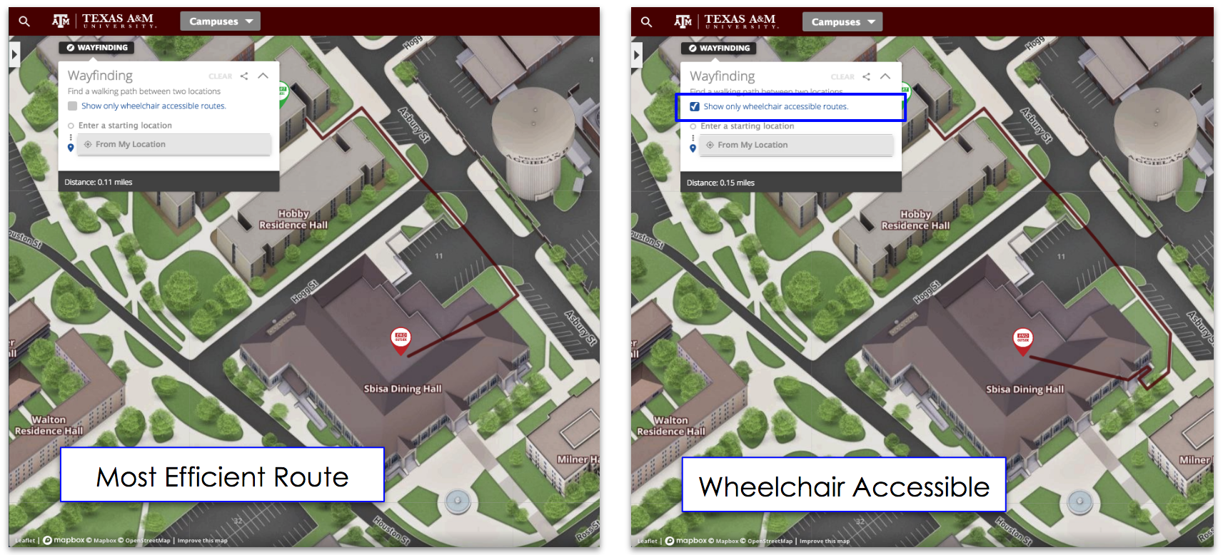
The result of these projects will be a new campus map that allows users to toggle between the three-dimensional Google Earth model and a traditional two-dimensional map that integrates with Google Maps Street View. Duke will be able to add layers of information to this map, such as parking and dining options, bus routes and wheelchair accessible entries.
Users will be able to view the map and data in a two-dimensional interactive format on a mobile device or in 3-D on more powerful devices through Duke's website. Users will also be able to choose a portion of the map and the levels they are interested in and create a printable PDF.
"We've found that students like 3-D, but their parents still like paper maps," said Oliver Davis, CEO of concept3D.
Schoenfeld expects that as soon as the new 3-D campus and upgraded maps project appear online, departments across the university will invent different ways to use the information, from creating virtual tours to planning emergency drills.
"It's an exciting project because the ability to add information and develop location-based services and applications will transform our digital media in ways that we can't yet predict," Schoenfeld said.
© 2012 Office of Communication Services
705 Broad Street, Box 90496, Durham, NC 27708
(919) 681-4533; FAX: (919) 681-7926
Topics: College Campus Tours


