From CampusBird Blog
What does this mean, you may ask? If you’re a Localist client - instead of a plain Google Map - now you can embed an attractive, 3D section of your concept3D map (powered by either our CampusBird or atlas3D platforms) right into your Localist event feed. Whoa!
“Integrating with CampusBird maps is hugely beneficial for Localist’s higher education customers,” said Myke Nahorniak, Localist CEO. “Localist is about getting the right event information in front of people to increase attendance and awareness. Having an attractive 3D map that profiles an event’s location makes it even easier for people to discover what’s around them, especially if they’re on the go with a mobile device. We see a lot of potential with this integration.”
So, if the event as at your student center, the stadium, a field, your main auditorium, or anywhere on campus, you can show that location right on your Localist calendar. Woah again!
We did a Q&A:

Why should I care about this?
Well, if you’re a CampusBird or atlas3D client and also work with Localist, now you can tie them together to better market your events and locations by giving your audience what they want: interactivity and an attractive 3D view of your campus buildings and grounds! They also want to be able to find where they’re going, and a 3D map embedded into your Localist calendar helps a lot. And it’s all mobile friendly because otherwise, it wouldn’t be very helpful on the go, right?
To see it in action at Colgate - click here
What if my event is off campus?
Great question! You can easily still use Google Maps or Open Street Maps, it just won’t have the sweet look of a 3D model. That’s also quite useful, BTW, because you can see the building itself and zoom in / out to orient yourself and get directions.
What is Localist?
Localist is an interactive events calendar that makes it easy to market your events. We’re proud to be working with them because they’ve built a cool product. Localist works with a host of universities like Georgetown University, Mizzou, The University of Texas at Austin, The University of Delaware, Towson University, Missouri University of Science and Technology, among others, as well as arts, travel and many other organizations. You can see what some of their clients have to say here: http://www.localist.com/about/testimonials
Is that it?
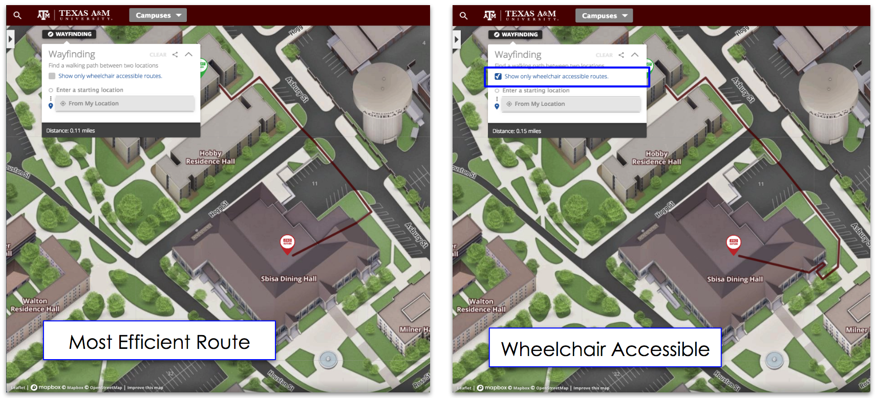
Actually, no. Within the map (because it’s interactive) you can also get walking directions by dragging and placing the start and finish icons. Nice!


